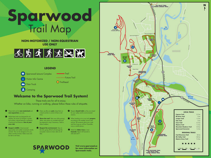
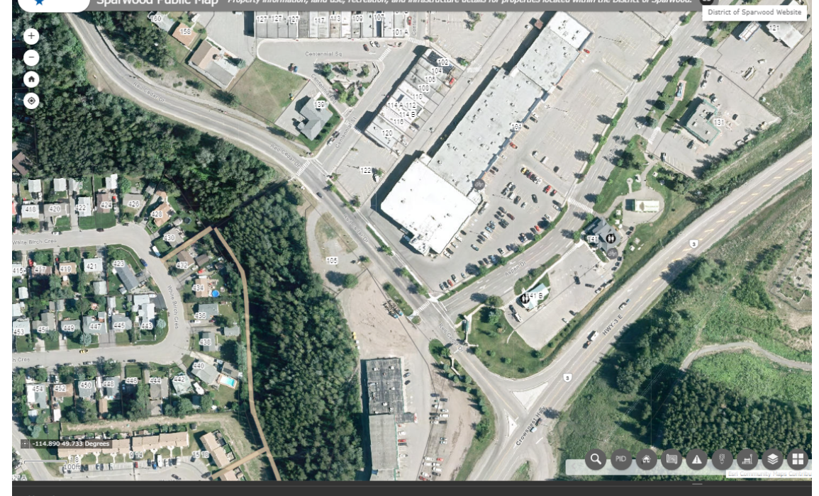
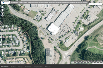
The District of Sparwood has a collection of interactive online and printable maps available to download.
The interactive maps is a consolidation of many maps including Official Community Plan, Zoning, Trails, Roads, and Civic Address. Click the map to find property information, land use, recreation and infrastructure details for properties located within the District of Sparwood.